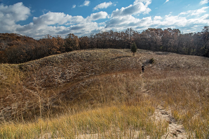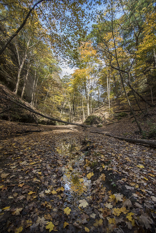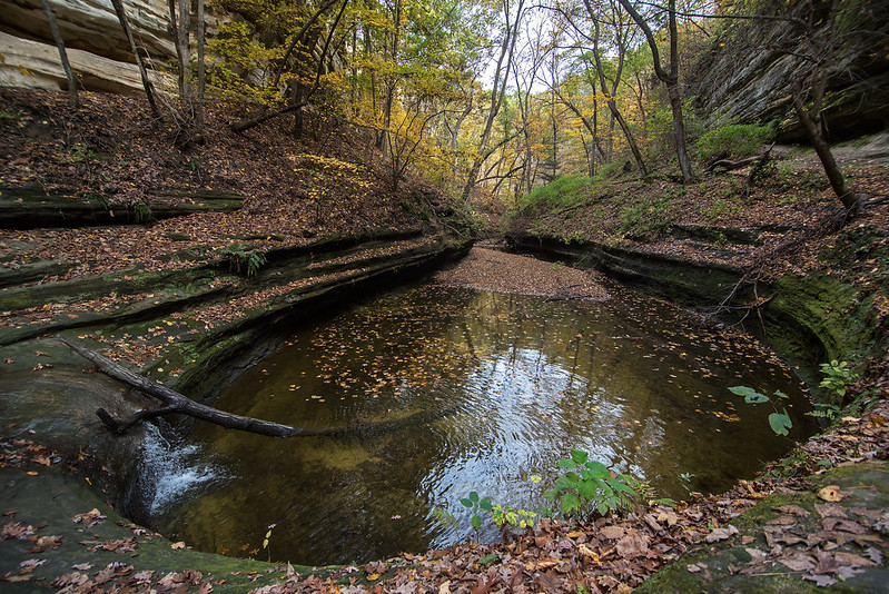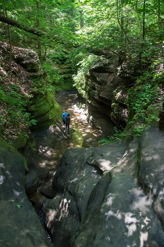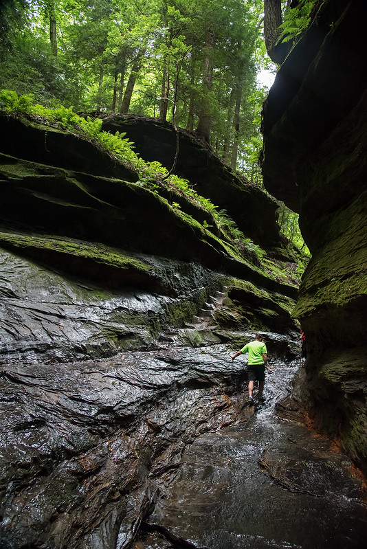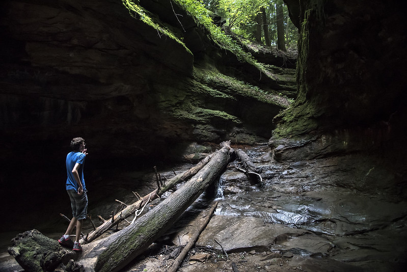
Deep in rural Warren County, Indiana, lies a hidden gorge with a remarkable sandstone canyon riddled with potholes. This part of the stream is actually called The Potholes, and it lives up to its name. Over thousands of years, flowing water and loose boulders carved the soft sandstone creek bed into round pockets or potholes. Boulders caught in the current of the water moved in small circles when trapped in a depression. This action caused the depression to get larger and larger into the current creek bed.
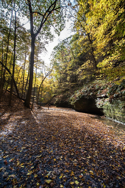
The water in most parts of the creek is about six inches deep, however, dozens of potholes hold two or three feet of water. Walking around this creek is difficult, as you may need to step into a three foot deep pothole to get around. Plenty of rain caused the creek to rise, and we tried to keep dry from the knees up, so it was impossible for us to walk the length of the canyon, and had to double back once from the downstream side, and again from upstream.
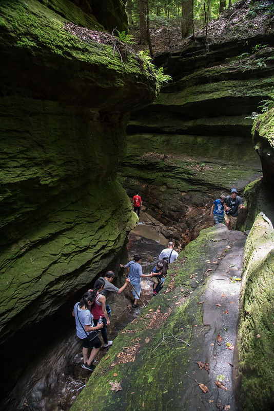
The walk through the creek was a bit difficult due to the narrow ledges between deep potholes. If one does not watch, a slip into a pothole may cause a fall or injury, but overall, if you expect a challenging walk, and watch, the walk is great fun.
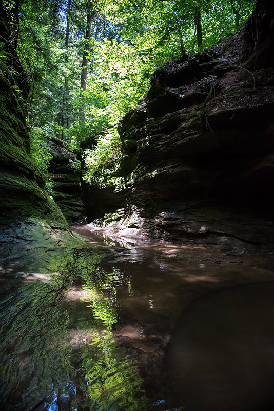
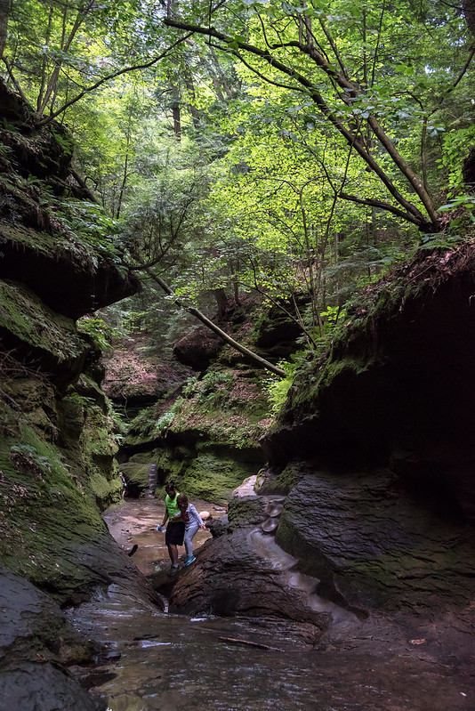
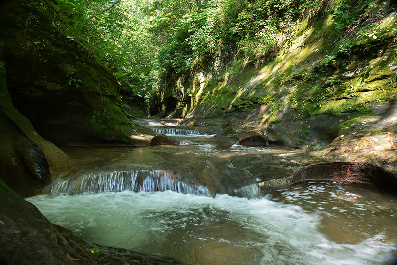
Colors, shadows, and reflections play off one-another, creating what is described as one of the most beautiful places to visit in western Indiana. It does not disappoint.
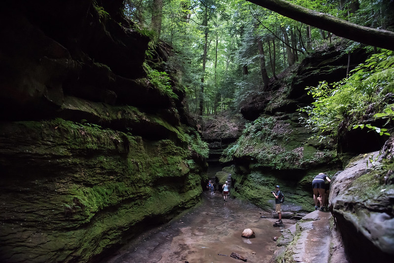
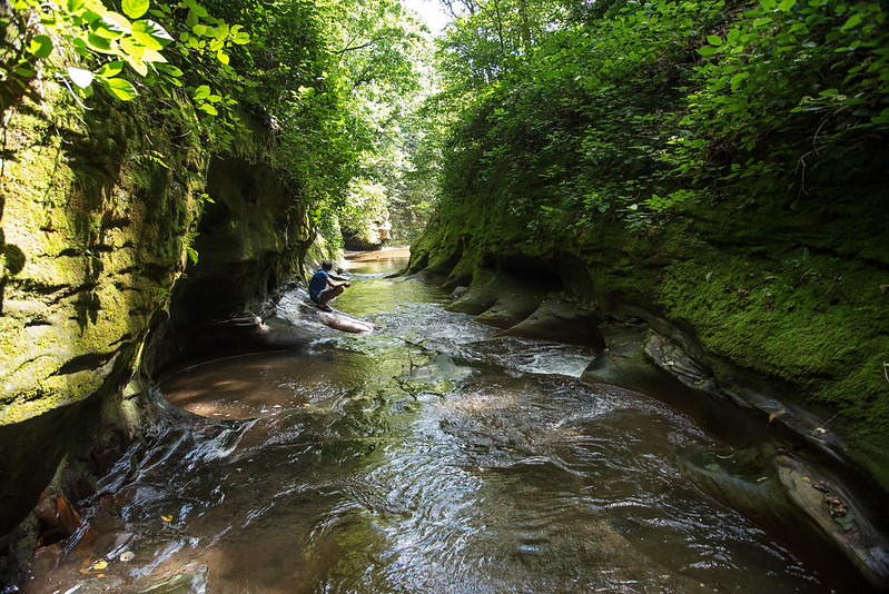
On our way out, we ran into three local teenagers in swimsuits, heading down to the potholes. That is truly the way to experience the potholes - each one is round and smooth, about two to three feet wide and deep - built like small, individual whirlpool baths!
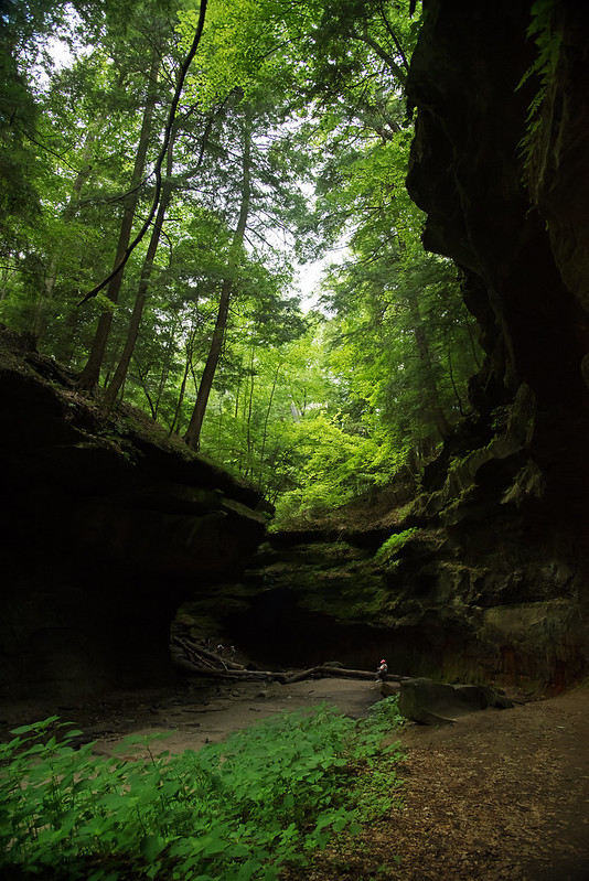
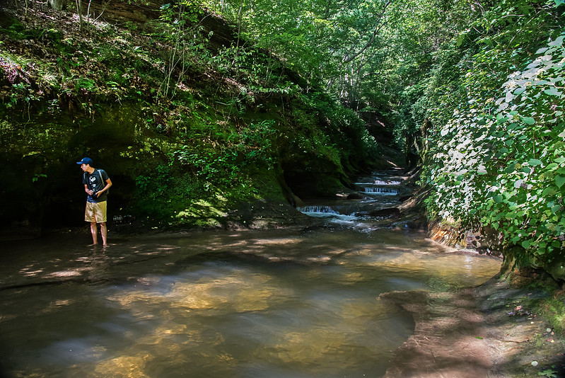
If you're lucky enough to find your way to this hidden gem, you'll find a parking area large enough for three or four cars, that's it. The Nature Conservancy describes the gorge as, "loved to death" over the past few years, so a small parking lot may help insure a low number of visitors.
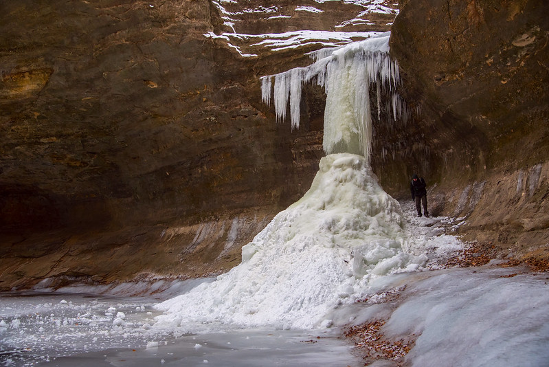
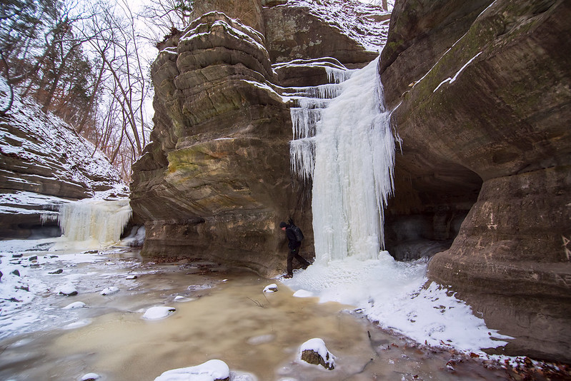
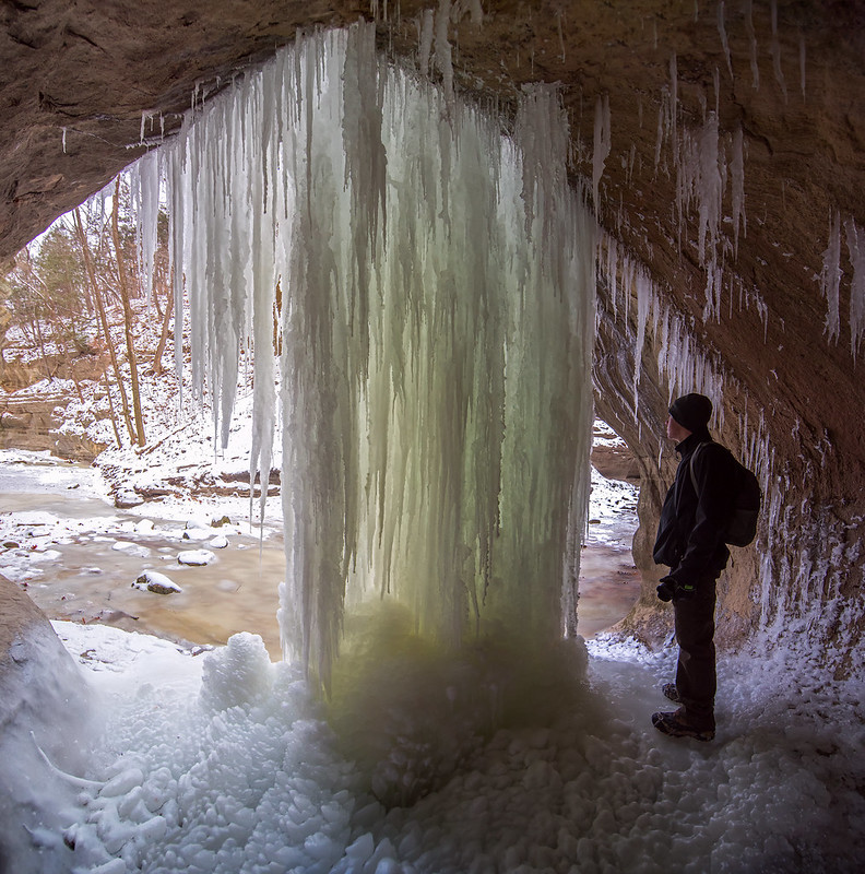
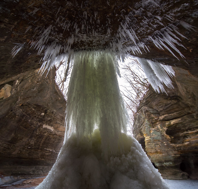 As a matter of fact, we were also able to climb behind the frozen falls to view the ice from below, something that becomes increasingly more difficult as the ice increases in size. It's always interesting to see the ice illuminated from behind.
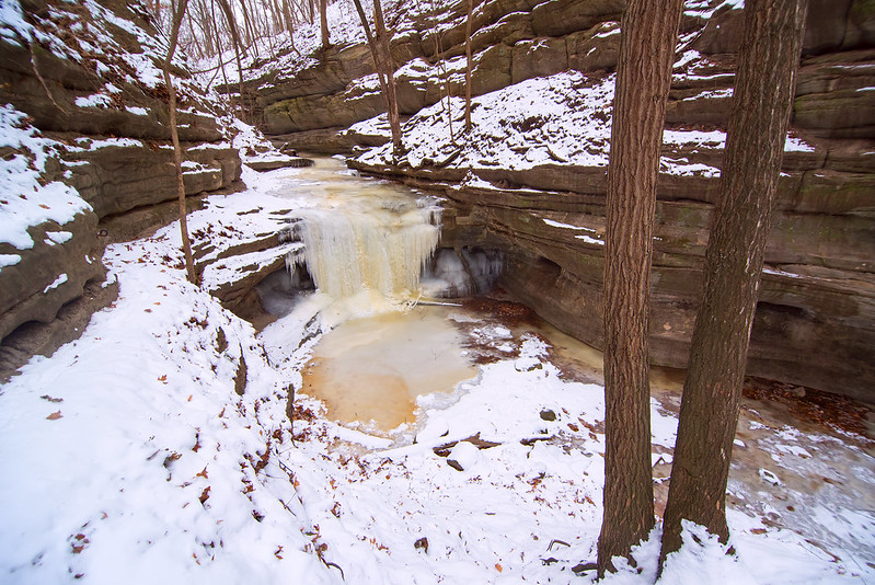
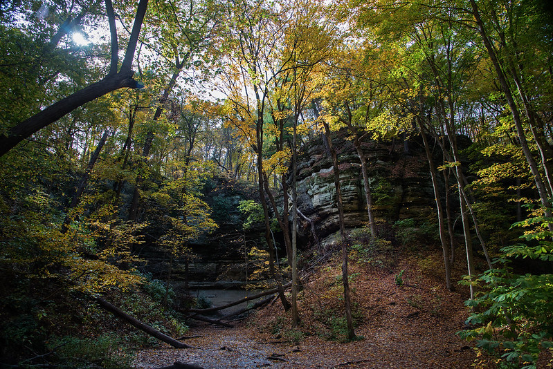
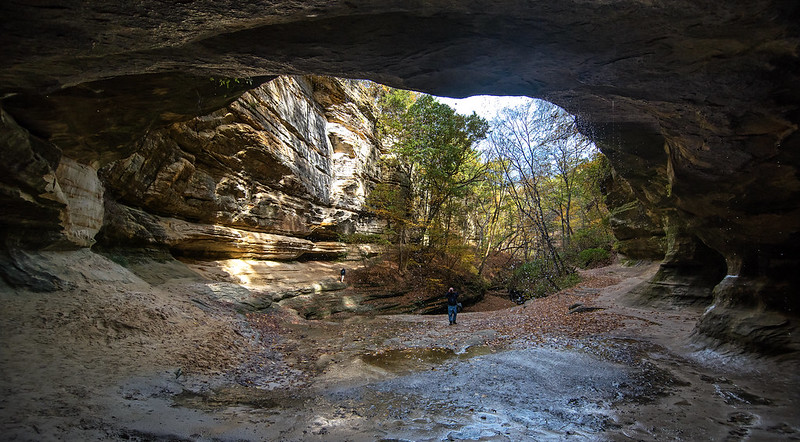
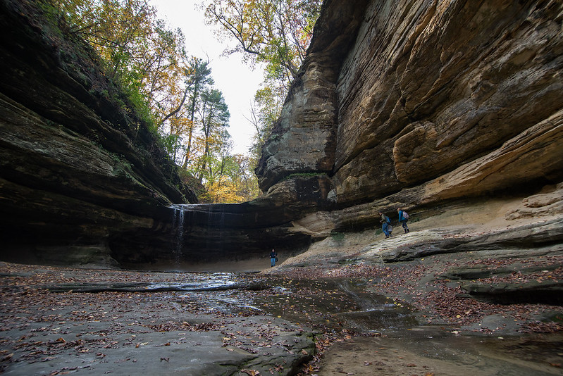
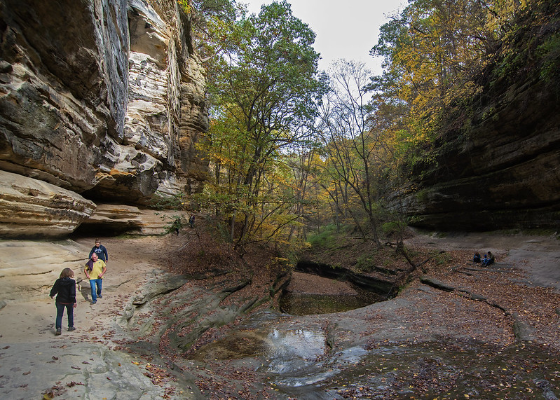
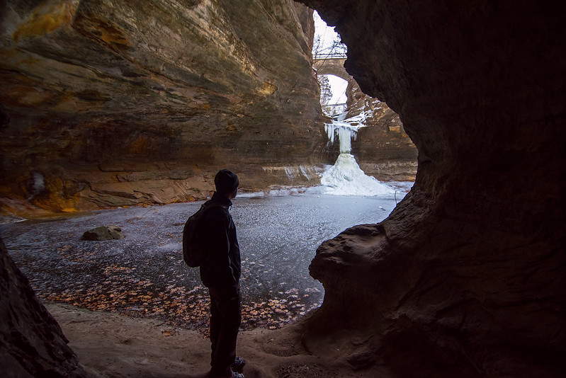 Another feature of the lower dells are small caves. These caves are large enough to walk through, and some connect with each other via smaller passages. One cave opens up to the end of the canyon with a view of Cascade falls in the distance.