First Freeze at Starved Rock State Park

Visiting the Frozen Falls
The days before Christmas were quite cold in Northern Illinois, cold enough to freeze the waterfalls of Starved Rock State Park.  Each year, the waterfalls in most of the canyons of the park freeze when the air temperature drops low enough.  A deep freeze right after a warm period, or after a rainfall, creates the largest frozen falls because of the amount of water falling into the canyons.

Falls of LaSalle Canyon

The frozen falls are approximately 20 feet tall, and presents itself to visitors after a long hike into the canyon.

First Freeze, LaSalle Canyon

LaSalle Canyon offers visitors the possibility of walking behind the waterfall, in a sort of ice cave. The rock of the canyon wall is undercut, creating an overhand of rock. When the waterfall cascades over this overhang, it creates an ice wall.  Walking behind the falls is breathtaking - the ice is illuminated by the sunlight, and it also takes on the colors of the rock, sky, and anything else in proximity.

Behind the Frozen Falls


Ice at South Haven

South Haven Iced

Part of my annual "First day of Christmas Vacation" trip to Lake Michigan includes a stop at South Haven, Michigan.  Generally with hopes of seeing ice on the vivid red lighthouse, but also to visit the small downtown shops for last minute Christmas gifts.

Winter Walk on the Pier

No matter the weather, the pier at South Haven always attracts visitors, and this day was no exception.  When I arrived, there were several people wandering around the nearest parking lot and the beach. They jumped out of their cars to snap a picture, then hopped back in and drove away.  I decided to wander out to the lighthouse (wearing ice cleats) to view the windward side where most of the ice builds up.  The deep red lighthouse was covered in white ice, making the lighthouse look like the outer light at St. Joseph instead of South Haven.

White Ice

The shelf ice was beginning to build along the beach, and in spots, there were some rather large chunks of ice that took on the look of icebergs. The shore took on the look of the arctic as the sun began to get lower in the sky.

Iceburg

The Ice at St. Joseph, Michigan Begins

Surrounded by Ice

A December cold snap has produced this season's first substantial icing of the St. Joseph, Michigan lighthouses. While not as dramatic as some other years, the icing is always interesting and different.

Iced Outer Lighthouse

The outer lighthouse generally gets the most ice, as it's located on the end of the breakwater, and receives waves and splashes from three sides depending upon how the wind blows. There is also less chance for the waves to break and reduce size before hitting the breakwater. Splashes from the waves reach a height of 70 feet at times, and this spray is what creates the ice on the lighthouses and other surfaces.

Iced Pier and Catwalk

At the point where the breakwater increases in size toward the shore, ice builds up as well.  The crashing waves splash up on the catwalk, freezing into giant icicles.

Beginning of Ice Season

The windward beach hasn't yet received as much shelf ice as the other side of the pier.  It can be seen in the foreground just beginning. A contributing factor is the drift ice, and this area hasn't caught any yet.

St.Joseph, Michigan Lights in Winter

Uprooted Perch

Uprooted Perch

Following a long hike down a forgotten road covered in a foot of fallen leaves, we reached the overlook. At one time, this road lead to an area where visitors could park and take in the view of Lake Michigan from high above the 80 foot tall dune.  Sunsets were amazing from this spot, with the city of Chicago's skyline on the horizon over Lake Michigan.

Now, much of this area is off limits to hiking - at least from the beach, where foot traffic is said to cause erosion of the dunes. The waves of Lake Michigan have completely proven that to be false, as all of the paths that were once on this dune have washed away - and not because of foot traffic.

We followed the old road quite a distance to see this overlook for the first time in many years. Walking on broken asphalt, we certainly did not contribute to any "foot traffic erosion." The boys immediately climbed up onto the fallen trees, uprooted by the Lake Michigan waves stealing sand from the bottom of the dunes. The dunes have been collapsing over the years, and will continue to do so until they reach an equilibrium with the lake. This has taken place for thousands of years, and banning foot traffic will do nothing to stop it.

The Path to the Bluff

The road was barely visible, covered in a thick layer of leaves, branches, and plants that are beginning to take hold. We could see evidence of old homes - some bricks, driveways, and garden plants that were not native to the area placed in clusters by homeowners decades ago.

We crossed this road dozens of times in the past, as we followed the paths on the dune ridge that ran parallel to the beach, but never ventured onto it. With the paths long gone, and the no foot traffic warnings on the dunes, we avoided the area for years. It was great to get to this spot again to see the changes, and to take in the view of Lake Michigan once again.

View From the Perch

Changing Elevation

The Ladders

Hiking the trails and canyons of Turkey Run State Park, one finds so many ways to climb or descend to the next level. Trail 3 in particular, offers so many methods of climbing - boulders, slopes, foot-holds, and even ladders.

Following the canyon floor on this rugged trail means traversing waterfalls, and at one point, the waterfalls are just a bit too steep to handle without assistance. Ladders were installed to help hikers, and to save the environment from trampling.

From the Top of the Ladders<

Not all visitors are adept at climbing ladders, so on busy days, bottlenecks often occur at the ladders. Making it even more difficult are the visitors with dogs, small children, and the fact that some people want to climb up, and others down.

The wait gives hikers a chance to look around at the small things that might have been missed if they just kept on walking at the same pace.  Interesting rock formations, moss, ferns, insects, and other wildlife are everywhere if you take the opportunity to look closely.

Root Ladder

In some places, nature provides natural steps in the form of tree roots.  Climbing into or out of the Ice Box requires the use of this natural staircase formed by the trees growing in between the rocks. It's steeper than it looks, but in no way does one feel in danger amid the tangle of roots.

Plan to bring waterproof hiking boots on your trip to Turkey Run State Park, they'll provide ankle support, traction on the mossy rocks, and allow you to walk through the shallow steams on the canyon floor.

Narrow Pass

Narrow Pass

Continuing our hike along trail 3 of Turkey Run State Park in west central Indiana, we encountered a narrowing of the canyon. Following the climb up the waterfall from the wider canyon near Wedge Rock, the canyon narrows, giving hikers two options.  Option one is to continue walking on the canyon floor, which is now almost completely covered by the creek.  Option two is to use the small steps and hand holds cut into the rock wall, and bypass the creek all together.  Add wet leaves to the wet, mossy  rock, and this can be a challenge. Then consider a large backpack, and the climb becomes a bit more cumbersome. This is one of the areas of trail 3 that bottlenecks with hikers either waiting to climb up, or deciding to turn around.

Keeping Dry

An accidental fall could be dangerous, even though the height is only about 10 feet, but the small hand holds carved into the rock are very helpful. Climbing up this small amount gives you a surprisingly nice view of the narrow canyon - if you're brave enough to turn around on these tiny steps.

Hiking the Canyon

In my visits to Turkey Run State Park, I've seen quite a few people do some interesting and dangerous things.  Kids climbing up the canyon walls as parents watch, sometimes up 30 or 40 feet; a teenager attempting to get down from the rock wall he climbed, only to slide uncontrollably and hit the canyon floor with his back side at a high rate of speed. Even people standing under the waterfalls in 50 degree weather.

Hanging Around

This group of visitors was one of the most interesting.  They suspended two hammocks across the canyon near the Punch Bowl. I'm not sure why, perhaps a photo opportunity, or just plain fun, but it was interesting to watch them, and the reactions of the hikers walking below.

Fall in the Canyons

Fall in the Canyons

Fall (autumn) in the canyons of Turkey Run State Park is a fantastic time to visit.  The warm, sunlit leaves stand out against the brown canyon walls, and the canyon floors are covered with colorful leaves from the forest above. Many leaves are off of the trees, allowing you to see through the forest and view otherwise hidden objects around the park.

Be prepared for some rugged hiking, the one mile long trail 2 is relatively mild for most of it's length to the narrows covered bridge, but through Gypsy Gulch one must walk over and boulders, a far cry from most state parks where boardwalks take away the challenge.

Through the Boulders

From the boulders of Gypsy Gulch, one is dwarfed by the canyon walls, and even more so by the towering tulip poplar trees towering above. On this visit, the waterfalls that often run in these canyons were only drips, but in wet seasons when they flow, hikers must walk near or even through them.

Rugged Hike

Certainly more than just a casual walk through the forest, trail 2 offers some rugged hiking, but not to an extreme extent. It's manageable by most adventurous people who have good footing and balance.

Hiking in the Canyon

The beginning of trail 3 (or the end depending upon the route you choose) offers a totally different environment than most of this area of the country. Just steps into this canyon, visitors are transported into a landscape usually found much further north. The air temperature drops significantly, and the plants are totally different than any other areas of the park. It's as if you walked back in time thousands of years in only a few steps.

Climbing the Waterfall

Trail 3 is much more rugged, taking visitors through a few canyons where at one point, hikers must walk through the water as it flows down the canyon. Even more challenging features lie ahead on trail 3......

Wishing Instead of Fishing

Wishing He Was Fishing

Our morning began with a three hour drive to Parke County, Indiana's Turkey Run State Park. We decided to hike trail 2 along the ridge to the Narrows covered bridge, then along the creek to the rugged trail 3 with plenty of canyons.

Along the way, we stopped to view Sugar Creek whenever we had the chance. The waters we still, and the sun illuminated the creek bed through as much as five feet of water. We could see the sandy, rocky bottom, and every fish within 100 feet from us.

Always the fisherman, Dan wished he could have brought his fishing pole to try out his latest top water lures.  It would be interesting to watch the fish follow and attack the lures in the clear water.

Our visit was focused on Fall color, interesting canyons, and a rugged hike.  Maybe on our next visit we could spend time fishing along the bank of the creek.

Wooded Trail

Through the Woods

There's nothing like a hike through the colorful, autumn woods on a bright morning.  The colorful leaves left on the trees, and those on the ground simply glow in the sunlight. This is especially true when hiking the wooded dunes of the Indiana Dunes National Lakeshore and State Park. The variety of environments encountered on a single trail certainly breaks up any monotony usually experienced while hiking in a forest.

The Woods Open Up

From colorful leaves to grassland and sand in just a few moments, the trails here wind and climb the rolling dunes, following ridges and valleys until meeting the beach and Lake Michigan. The trails dramatically open up to the Lake, offering spectacular views no matter the elevation.

End of the Trail

So many different environments in just a single trail.  Woods, savanna, beach, conifer forest, all just steps apart, and all interesting in any season.

Colorful Dunes

Color Below the Dune

An unusual block of warm temperatures at the start of November gave us very comfortable hiking weather. Our hike began on the Lake Michigan shore, where we hunted for a tail through the wooded dunes. We finally found the trail that eluded us last time, and followed it through the colorful woods.

The sunlight filtered through the colorful leaves, creating a beautiful landscape all around us.

Hiking the Wooded Dunes

There are so many varieties of tree here, that there is no single dominant color on the landscape. The trees are also intermingled with conifer trees and shrubs, which provide a dark green contrast to the yellows, reds, and oranges of the deciduous trees.

Expanse of Color

Our hike included a steep climb up very loose sand to the top of a grassy dune, at the back of a large blowout which faced Lake Michigan.  From the top we could see for miles in all directions - the great lake to our north, and the rolling landscape everywhere else. The morning sun illuminated the autumn leaves perfectly, making the colors pop against the grassy dunes.

Fall Color at Door Prairie

Autumn in La Porte

The unique, nine-sided barn of La Porte, Indiana on a beautiful Fall morning.  Surrounded by colorful trees, the Door Prairie barn greets visitors to the city of La Porte on highway 35.

Built in 1882 by a Quaker who raised Clydesdale horses, the nine-sides provided individual stalls for horses, with a central area for hay.

Fall Field

The structure was built using post and beam construction, in fact, each beam was stamped with a number - something not unusual for this type of construction, as each piece was handmade and only fit together with a particular mating piece.

Back of the Barn

Round barns can have as many as 16 sides, and generally, they seem to have an even number of sides. The Door Prairie barn has nine sides, an odd number.  Not only does this seem unusual, it is, and this structure is the only remaining nine-sided barn still standing in the country.

Added to the National Register of Historic Places in 1993, the barn underwent some period correct repairs and restorations since.

Golden Leaves

The barn was in the Ridgeway family until 1982, when Dr. P. Kesling purchased the property. He now maintains the famous piece of La Porte history, and even added a small parking/view area for those wanting to stop for a photograph.

Fall at Door Prairie


White River Light Station

White River Light

Tucked away on a wooded dune, guarding the channel to White Lake stands the White River Light Station. Built in 1875, the lighthouse marked the entrance to the man-made channel between Lake Michigan and White Lake. Once a busy port for logging boats harvesting wood from the pine forests of Michigan, the port also served as a waterway for boats carrying vacationers from Chicago.

The port was very busy following the Great Chicago Fire of 1871, as Chicago required wood to rebuild. No doubt the lighthouse was built to aid the growing number of schooners heading to and from Chicago.

White River Light Station

The lighthouse was decommissioned in 1960, and by 1970, friends of the lighthouse turned the structure into a maritime museum.  The museum remains today, and is open for tours May through October, and visitors can climb the tower for a view of Lake Michigan.

White River Lighthouse

Located just a few miles from Muskegon, Michigan, the White River Light Station is part of the Sable Points Lighthouse Keepers Association.

Big Sable Point Light

Big Sable Point Light

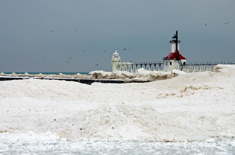
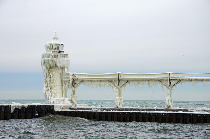
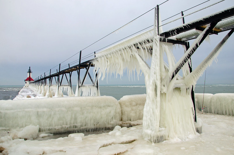
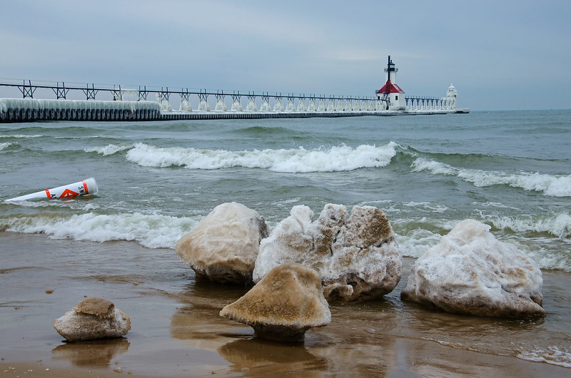
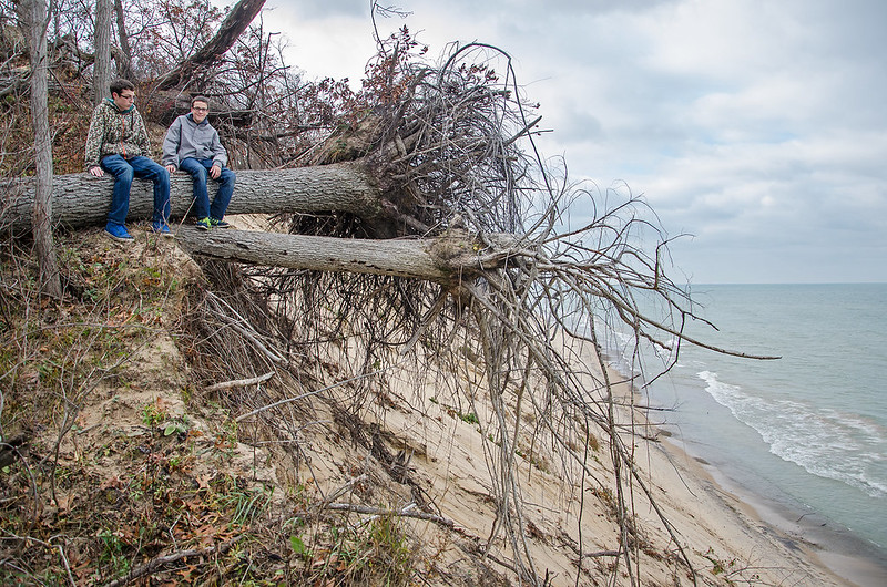
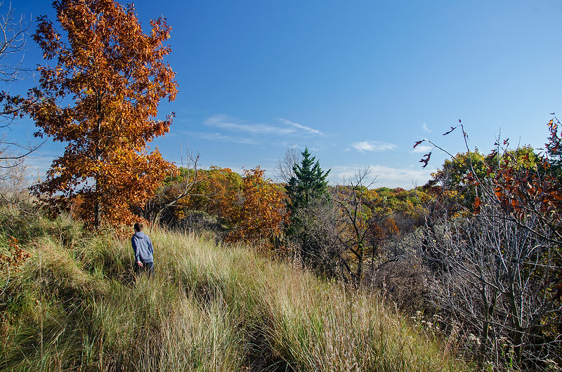
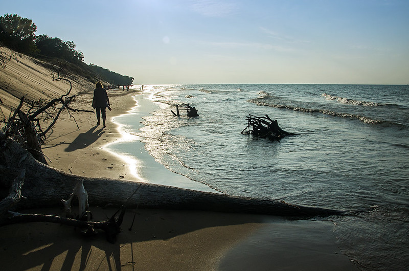
We began our hike on one of the coldest mornings so far this Fall. walking into the wind along the Lake Michigan shore.  While it wasn't yet below freezing, it was bracing, especially after the four hour drive in the early morning.  Two days of rain preceded us, so we hoped for a little sun, and we were in luck.

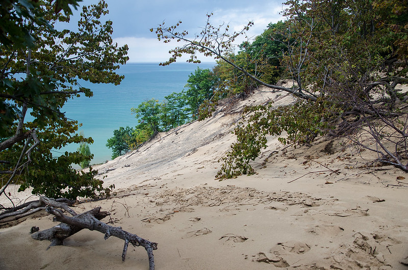
The walk from the parking area to the lighthouse is two miles long, measured on the crushed limestone path.  We chose to walk along the beach, in soft sand, dodging waves, and with no protection from the wind. It certainly felt a bit longer than two miles, but we think getting there is a large part of the experience.

Big Sable Point Light From the Dunes

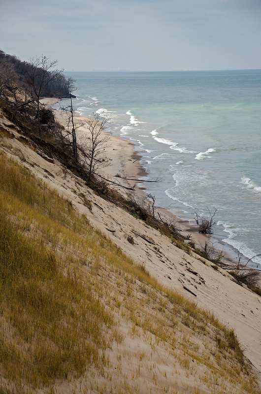
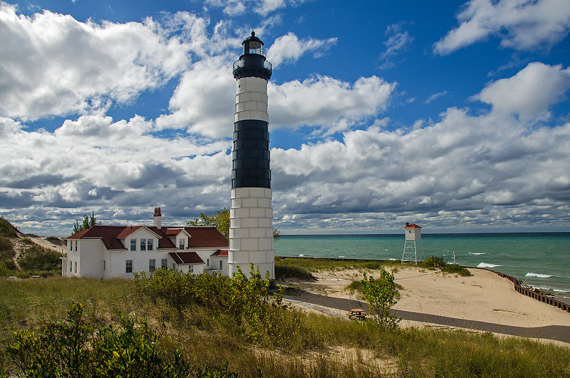
As we arrived at the lighthouse, the sun appeared more often as the dark clouds seemed to scatter a bit.  To our surprise, this late in the season, the lighthouse was open to tours, so we climbed to the top to take in the view of the surrounding dunes of Ludington State Park.

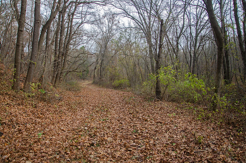
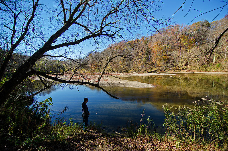
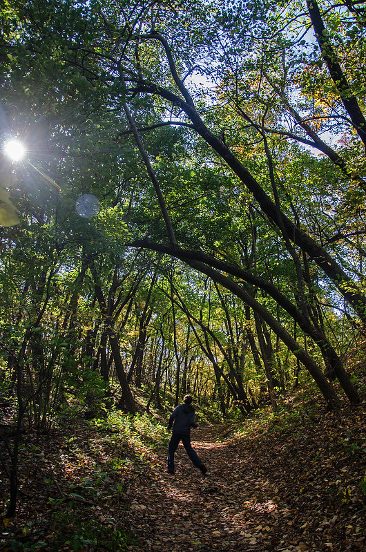
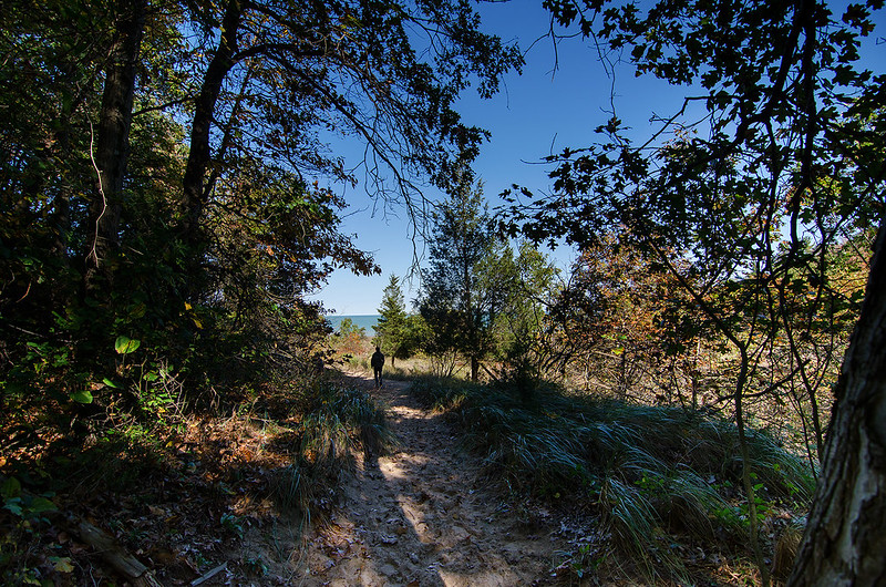
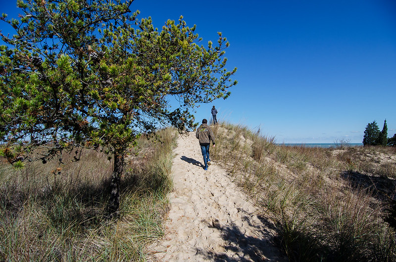
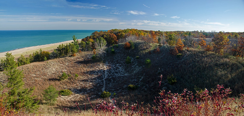
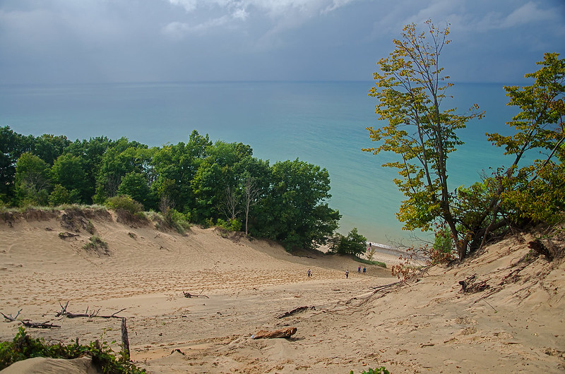
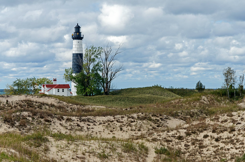
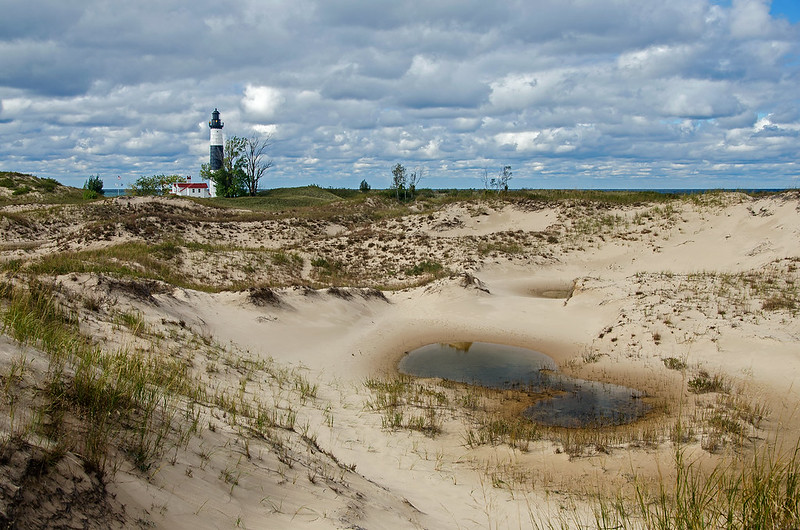
From our vantage point, we could see dozens of interdunal ponds scattered throughout the landscape. We utilized the height to plot our course through the dunes, making certain we would explore the ponds, dunes, and conifer forests of the park. Here, as in many of the parks along the Michigan and Indiana shore of Lake Michigan, dune progression is clear. The change from beach to fore dune, to dune, to savanna to conifer forest, to oak forest can all be experienced in a relatively short hike.

Distant Big Sable Point Light

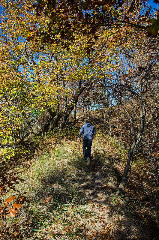
Of course, what could be a short 3 mile hike through the dunes and woods of Ludington State Park, turned into an exploration for us, as we spent about five hours enjoying the trails - without seeing another person.  The volunteer at the lighthouse told us how wonderful the trails were, but she'd never gone too far from the lighthouse. It seems the visitors of this day simply wanted to get to and from the lighthouse, and not experience the best part of the park.

Morning at Big Sable Point

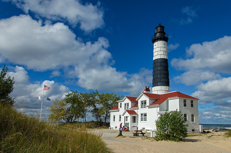
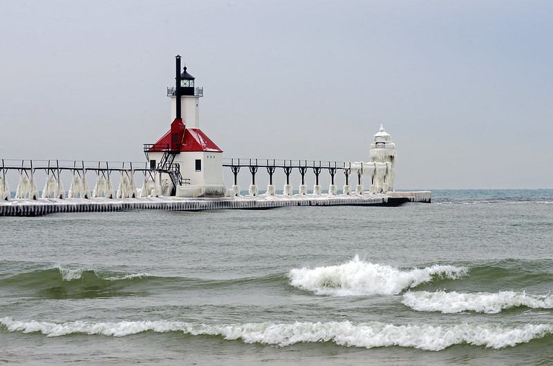
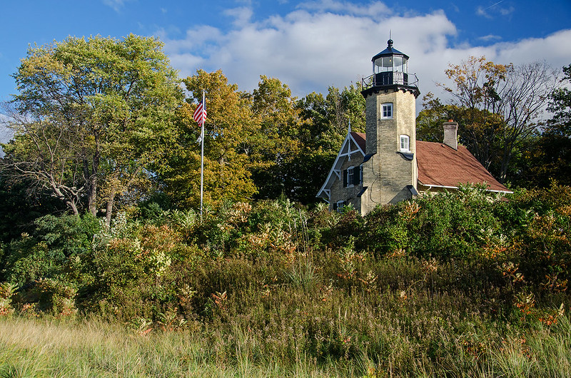
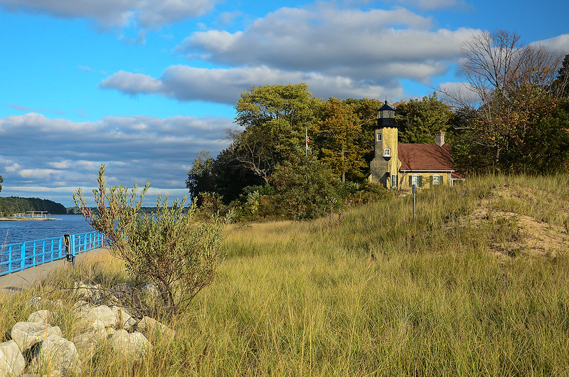
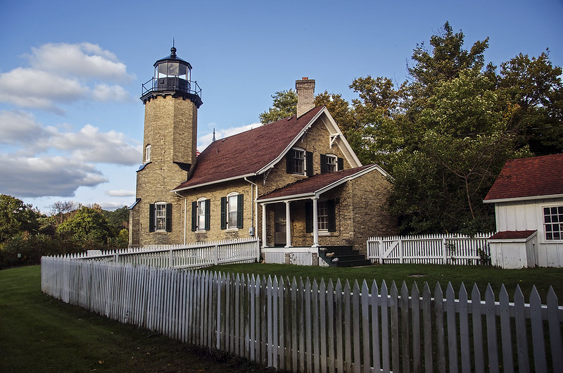
Built in 1876, Big Sable Point Light is one of the tallest lighthouses in the state of Michigan. There are 130 steps to the top, where two narrow hatches allow access to the lantern room.  One can walk along the outside of the lantern for beautiful views of Lake Michigan and the dunes.  The lighthouse received its steel cladding and black and white day markings in the early 1900's, when the bricks began to crumble.


The Dunes of Van Buren State Park

The Easy Way Down

The weather forecast scared most people away from the beach, but some die hard hikers still wandered around the dunes of Van Buren State Park, in western Michigan. Spotty rain storms surrounded the region, driven by unusual winds from the northeast. Locals who expect storms from the west and northwest were finding themselves trapped and drenched by surprise rain from the east.

The Edge of the Blowout

This particular dune blowout had a steep, winding, soft sand path from the main trail to the summit. With each step, the foot would sink and slide back down; progress was slow up the dune. Once on top, hikers are rewarded with a great view of Lake Michigan and the forest surrounding the dunes.

The way down was much easier.  The blowout (portion of the dune with little vegetation to hold it together) provided a wide, relatively gradual slope to the beach below - a welcomed easy hike compared to the strenuous climb up.


Into the Light

Into the Light

Early Fall at the Indiana Dunes National Lakeshore seems to arrive quickly, and the changes appear almost overnight. The sun tracks differently in the sky, it now sets almost in line with the shoreline instead of over Lake Michigan. Last week, the water temperature was comfortable, only six days later, the feet and legs hurt when immersed in the water.

A westerly walk along the beach is a bit difficult because of the angle of the sun, but from this angle, the sun highlights every wave and grain of sand in sight. A few minutes later, the sun would overpower any photo taken from this angle, and only silhouettes would be possible - a great reason to purposely delay and walk slower toward the parking lot.